

How We Plan Cities Determines Who
They Work For
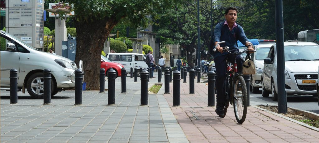
In India’s cities and towns, growth frequently outpaces planning, sectors and agencies operate in silos, and design is rarely treated as a means for shaping inclusive, well-functioning public spaces.
Janaagraha’s Planning and Design work addresses these structural gaps through place-based governance models, spatial planning instruments spanning regional to neighbourhood scales, and design standards that make roads and other public spaces work for all.

Impact Goal 1
Place-based Governance
Cities in India are governed as collections of sectors, rather than as distinct places. No single authority is responsible for the city as a whole, and a one-size-fits-all approach treats cities of different sizes, needs, and capacities as identical.
Place-based governance calls for a differentiated approach rooted in local context. It reorients institutions towards integrated planning, shifting cities from scheme-driven to needs-based approaches.
Impact Goal 2
Land and Planning
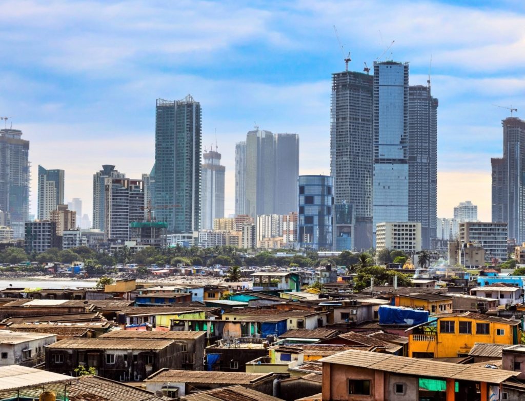
In many Indian cities, master plans are weak or absent. Planning is fragmented as sectoral plans are prepared independently, and public land remains under utilised and disconnected from city priorities.
Addressing this requires strengthening the institutional foundations of urban planning — developing three-tiered planning frameworks and linking statutory plans to project pipelines, land use decisions, and regulatory tools.
Impact Goal 3
Best-in-class Roads and Other Public Spaces
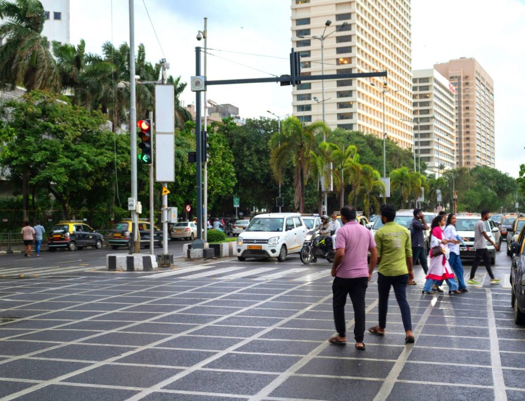
Roads in India’s cities are viewed as conduits for vehicles, built primarily to ease congestion. They are rarely designed to serve pedestrians, cyclists, public transport, and vehicles equally.
Instead, roads and public spaces need to be reimagined as urban systems, with stronger approaches to how they are conceived, designed, and maintained. This enhances walkability, everyday safety, climate resilience, and long-term sustainability.
Key Initiatives

City Action Plans
City Action Plans are participatory, place-based planning tools for sustainable urban transformation. Residents identify priorities based on local context — from infrastructure to health to climate resilience. City institutions prioritise and approve these interventions, enabling coordination of efforts and funding across departments. This moves planning from centralised, scheme-driven approaches to city-owned roadmaps that respond to lived realities.
In Assam, as anchor partner to the state government’s Doh Shaher Ek Rupayan programme, Janaagraha is institutionalising City Action Plans in 10 cities across the state. In Uttar Pradesh, as knowledge partners in the Aspirational Cities Programme, we are supporting the development of City Action Plans across 100 towns.
City Data and Analytics Platform
Urban data in India is often fragmented, scattered, and non-standardised, making it difficult to assess cities holistically or make informed decisions. The City Data and Analytics Platform (CDAP) is an integrated platform that addresses this gap by bringing together data from national, state, district, and city levels. Developed by Janaagraha in collaboration with NITI Aayog, CDAP operates as a microsite on the National Data and Analytics Platform. It supports cross-sectoral comparison, temporal analysis to track trends, and spatial visualisation through maps. The platform aims to strengthen place-based and data-based decision making to improve quality of life, resilience, and sustainability in India’s cities.

Impact Highlights

Impact Highlights

City Action Plans institutionalised in 10 cities across Assam.

City Data and Analytics Platform launched, offering accessible, standardised,
interoperable urban data from national to city levels.